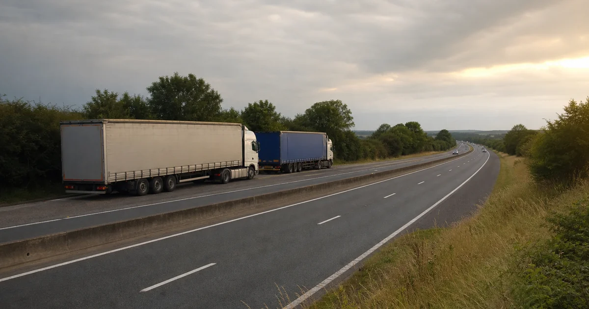
Roadside lay-by (Tyne Y Felin) — Free Mixed Parking
Tyne Y Felin, Conwy, Great Britain, 53.00249,-3.54245
Discover truck parking locations and useful quick info for HGV drivers.
Coloured markers: blue = motorway services, orange = paid truckstop, green = lay-by.
Tyne Y Felin, Conwy, Great Britain, 53.00249,-3.54245
Tynehead Road, Borthwick, Midlothian, Great Britain, 55.80440,-2.97477
Tynohir, Machynlleth, Powys, Great Britain, 52.56109,-3.91409
Udale Bay Bird Hide, Jemimaville, Highland, Great Britain, 57.65705,-4.15989
Uig, Highland, Great Britain, 57.40352,-3.65565
Ulster Way, Causeway Coast and Glens District, County Londonderry, Great Britain, 55.07835,-6.81198
Ulster Way, Causeway Coast and Glens District, County Londonderry, Great Britain, 55.07804,-6.81486
Ulverston Road, Dalton-in-Furness, Westmorland and Furness, Great Britain, 54.15984,-3.17037
University of Liverpool Experimental Archaeology Research & Teaching Hub (EARTH): Pyrotechnology Centre, Neston, Cheshire West and Chester, Great Britain, 53.27127,-3.04783
Unnamed Road, Brynsiencyn, Isle of Anglesey, Great Britain, 53.18272,-4.28587
Uplowman Leat, Mid Devon, Devon, Great Britain, 50.92138,-3.39996
Uplowman Leat, Mid Devon, Devon, Great Britain, 50.92114,-3.39998
Upper Batley Low Lane, Kirklees, West Yorkshire, Great Britain, 53.72896,-1.63777
Upper Howell Hill, West Camel, Somerset, Great Britain, 51.02548,-2.60543
Upper Howell Hill, West Camel, Somerset, Great Britain, 51.02508,-2.60669
Upper Llantydwell House, Lampeter Velfrey, Pembrokeshire, Great Britain, 51.77647,-4.64955