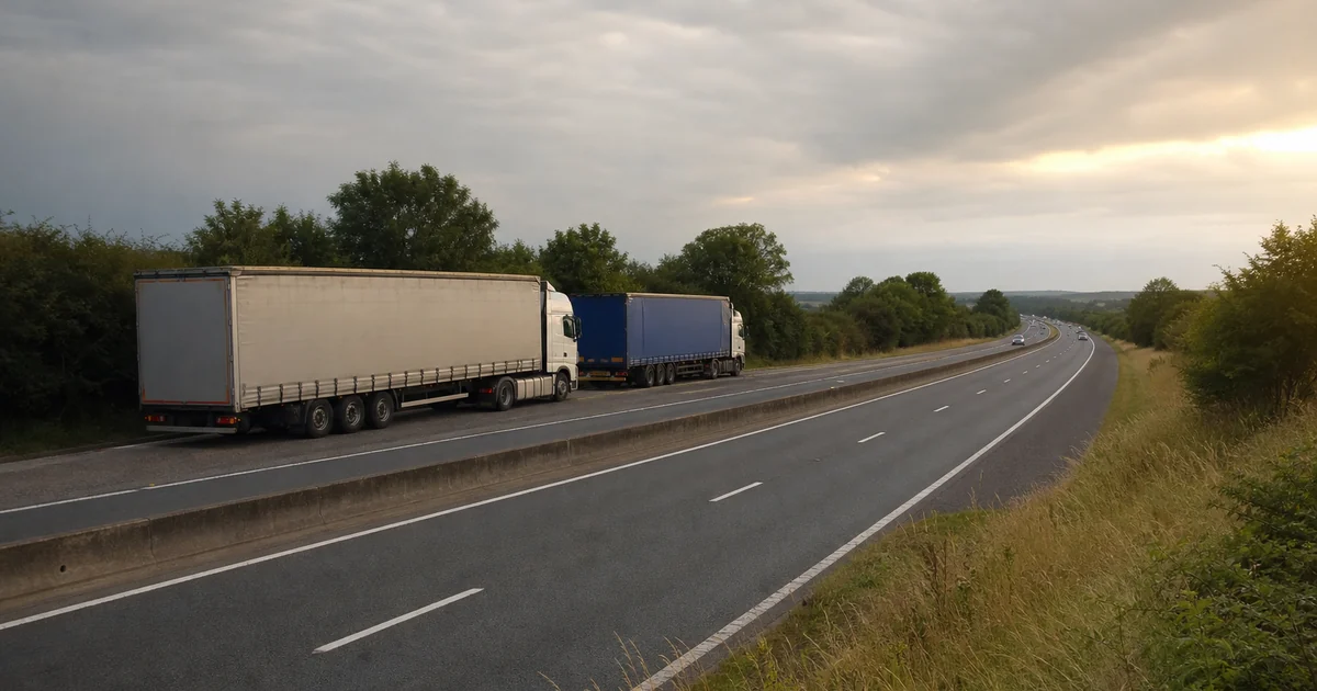
Roadside lay-by (Lord's Hill) — Free Mixed Parking
Lord's Hill, Hill Deverill, Wiltshire, Great Britain, 51.14951,-2.16427
Odkryj parkingi dla ciężarówek i przydatne informacje dla kierowców HGV.
Kolorowe znaczniki: niebieski = stacje autostradowe, pomarańczowy = płatny truckstop, zielony = lay-by.
Lord's Hill, Hill Deverill, Wiltshire, Great Britain, 51.14951,-2.16427
Lorton Road, Cumberland, Great Britain, 54.65139,-3.33984
Losecote Field, Empingham, Rutland, Great Britain, 52.69602,-0.57025
Losecote Field, Empingham, Rutland, Great Britain, 52.69456,-0.56705
Lostock Lane, South Ribble, Lancashire, Great Britain, 53.72108,-2.67872
Lough Fea Road, Mid-Ulster District Council, County Londonderry, Great Britain, 54.72316,-6.82047
Lough House Bank, Ferryhill Station, County Durham, Great Britain, 54.68636,-1.52161
Lough House, Stannington Station, Northumberland, Great Britain, 55.12222,-1.67220
Loughnapeiste, Tyrone, Great Britain, 54.65944,-7.11045
Loughton Brook, Milton Keynes, City of Milton Keynes, Great Britain, 52.04344,-0.79164
Loughton Brook, Milton Keynes, City of Milton Keynes, Great Britain, 52.04336,-0.79205
Louth Bypass, East Lindsey, Lincolnshire, Great Britain, 53.37404,-0.01671
Louth Bypass, East Lindsey, Lincolnshire, Great Britain, 53.37322,-0.01824
Low Blakey Moor, North Yorkshire, Great Britain, 54.35901,-0.94357
Low Cat Crag, Cumberland, Great Britain, 54.61142,-3.07220
Low Field Lane, York, York, Great Britain, 53.95999,-1.15056